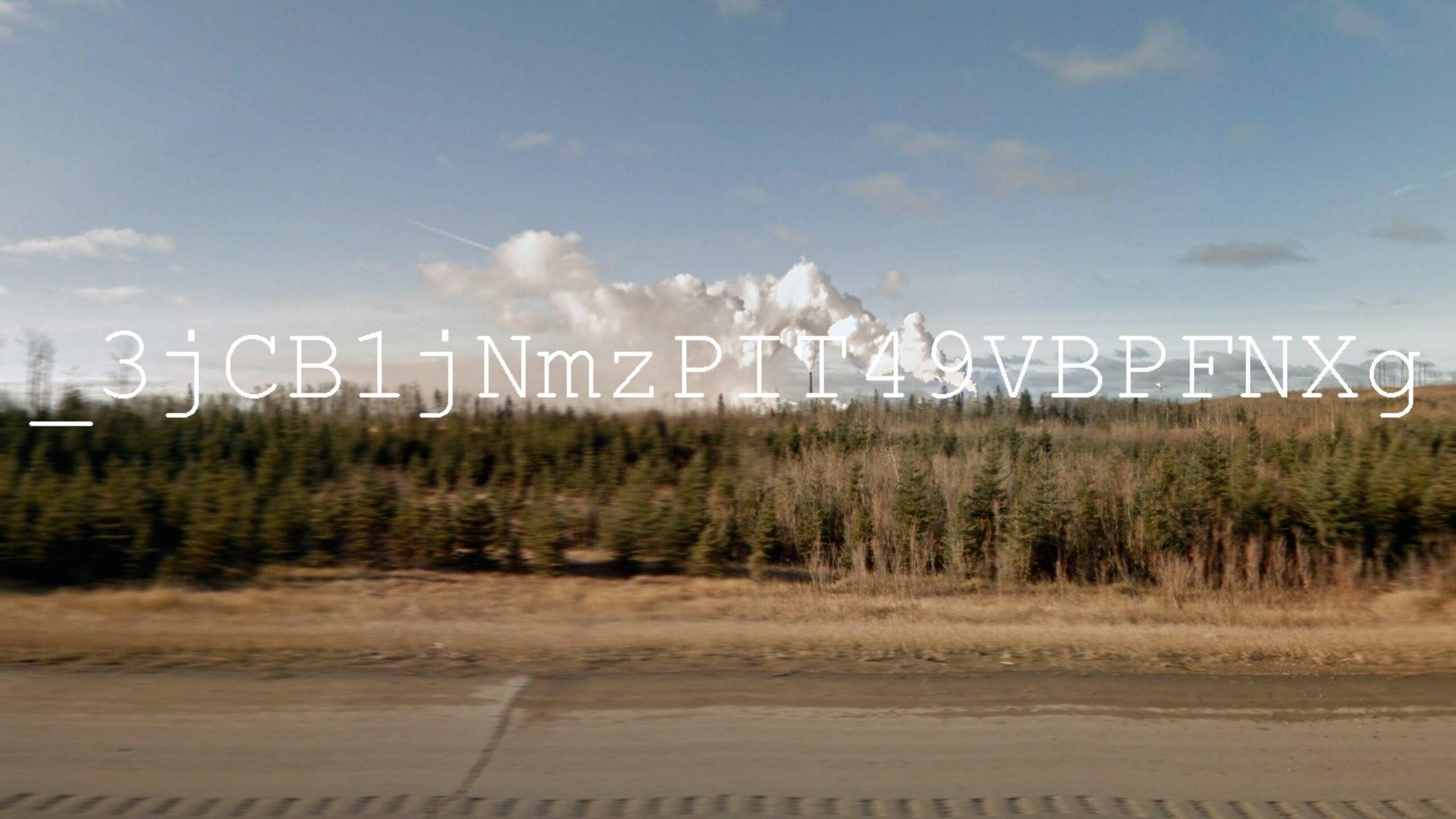
This experimental film combines elements of documentary with art video. The video is a geographic journey derived from the systemic abuses of industry and its reliance on short-term thinking. It spans remote everyday structures that sit commonplace upon the terrain in an attempt to outline the invisible. Variations of geographical data coordinates of 3405 ‘orphaned’ oil and gas wells within the province of Alberta are re-presented in different forms. The data is first partially revealed in its original geographical form using a fast assemblage of satellite imagery from the quarter section locations of each site. These coordinates are then applied to other geographical regions through GIS mapping software which is then remapped using Google Earth. Depending on the applied terrain, patterns of movement develop through the vector-based scale of the original layout of orphaned wells that traverse approximately 70% of the land area of Alberta. Coordinates are applied and animated to other subject matter and areas such as a reconstructed wellhead through the use of photogrammetry, Google’s 3D aerial view of downtown Calgary with its suburbs and industrial areas, and a quarter portion of the approximate 1000 square kilometre Athabasca oilsands. Other segments include the overhead aerial scans of a huge orphaned H2S gas plant, the environmental monitoring/filtration stations of a ‘reclaimated’ refinery site in Calgary, as well as the hacked driving sequence of Google Street View images which race up Highway 63 north of Fort McMurray detailing the equivalent length and elusive vantage points to the adjacent tarsands.
